
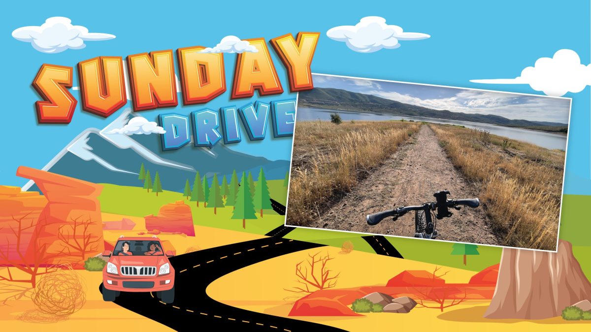
It was a quiet morning at the lake as my vintage Trek 6700 gripped the trail, passing through a shady grove of hawthorns on a downhill and then carving a tight right-hand turn onto a peninsula stemming into the Jordanelle Reservoir. A few puffy clouds framed a blue sky scene while a family of ducks slowly crossed a quiet backwater bay.
It was a great day for a bike ride.
The Jordanelle Perimeter Trail came online just a few years ago. It traverses a wonderful winding route from the west side of the reservoir around the north to Ross Creek and down the east side to Rock Cliff. It’s part of a growing network of trails along the Jordanelle, including the Skyridge system high above the north side of the reservoir.
This summer has marked my return to mountain biking. Bewildered by the prices of new bikes, I had the bike techs at Storm Cycle put some love into my over 20-year-old ride. Wow, what a difference! Now I actually have brakes, plus gears that shift.
The entire Perimeter Trail looked aggressive for me, so I opted for an eight-mile ride from the western shore to Ross Creek. It was an undulating ride, perfect for my ability level, and a great outing for families.
For me, the adventure was as much about the history as it was about the ride itself. I started up above on Rail Trail Road, which followed some of the pathway of the old Union Pacific Railroad spur and the mine stop at Keetley Station. The original spur was built in 1923 with ore coming out of the Ontario Mine through a tunnel that exited along what is now U.S. 40. In 1941, the line was extended to the Mayflower Mine. It was abandoned in 1972.
The deep red hawthorn berries caught my eye, providing shade as the trail wound out onto Crandall Point. As you ride out onto the two peninsulas, make sure to follow the trail all the way out to the tip — don’t get lulled into the shortcut track.
The peninsula rides give you a unique perspective on the reservoir. The main north-to-south channel of the Jordanelle is the remnant of Ross Creek, a short-running stream that had its headwaters just a few miles north and then joined forces with the Provo River coming out of what is now known as Rock Cliff. Construction began in 1987, and the dam was completed in 1993, flooding the town of Keetley.
I just loved the flow of the trail. Gonzo cyclists will not be challenged, but it’s a perfect family or intermediate ride. Around every corner is yet another unique view of the reservoir or a look back at the ski runs of Deer Valley’s East Village. Trail designers did an excellent job of following the terrain, twisting and turning to follow the topography, and leaving in just enough up and down to make it enjoyable.
Nearing the eastern shore, the trail drops down to water level along a peaceful, quiet bay along what used to be Ross Creek. Then, it’s a quick climb up the shoreline until the trail crosses the old highway.
It’s been over 30 years since the last car drove old Highway 40 down to Keetley, Hailstone and on to Heber. As the trail crossed the slowly disintegrating bed of asphalt with a yellow line down the middle, I paused to reflect on the past as the highway descended into the water.
DETAILS
Where to go: The Crandall Point Trailhead is an excellent spot to base, with parking and toilets. Get off U.S. 40 at the Mayflower exit. It’s not clearly marked, so map it in advance, located on a trail off Old Keetley Road. There’s a kiosk for state park fees, or use the online app. Better yet, get an annual pass. While there’s no trailhead on S.R. 319 leading to the state park, you can ride along Rail Trail Road, which tracks the original rail spur from Keetley Station to Mayflower.
Trail: While you can easily do this segment out and back, the trail lends itself to point-to-point travel, so think about shuttling.
Kids: Learn some history before you go. Look at the history overlay maps on gaiagps.com to see what it looked like in 1930 and 1980 before the dam.
When to go: This is a great early morning trail.
What to bring: It’s a pretty exposed trail, so bring water and wear sunscreen.